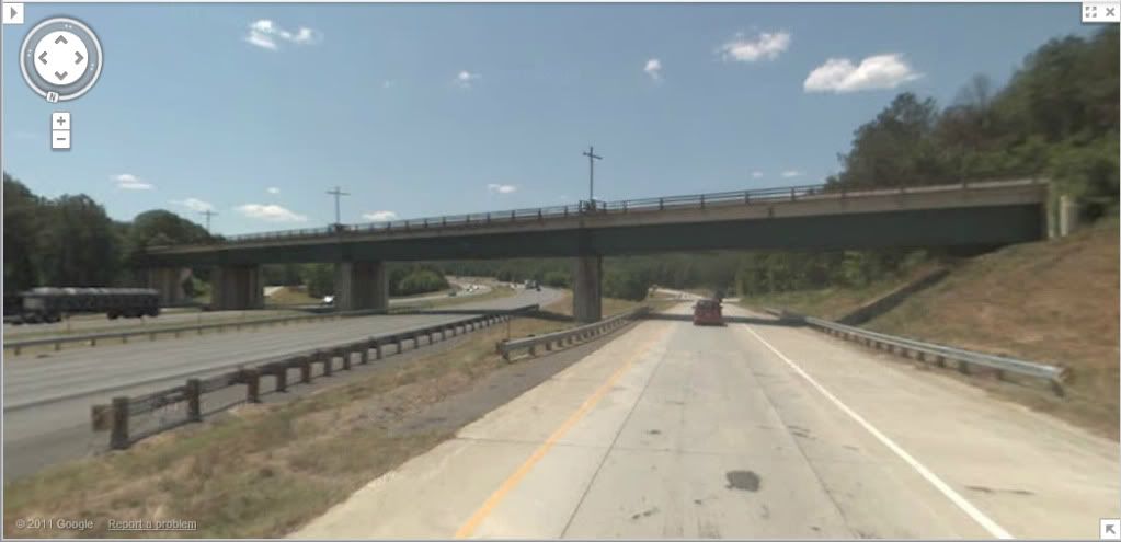
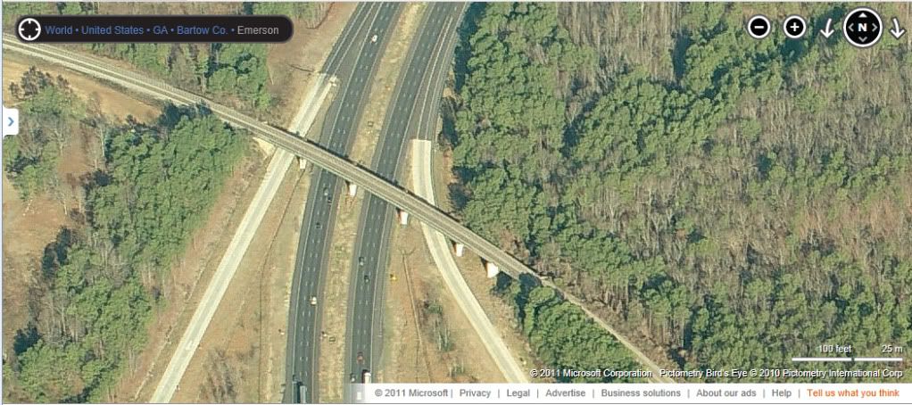
Below, I have included a few pictures of the prototype structure courtesy of Google Maps and Bing Maps. The scene on the layout will be simplified compared to the prototype scene in that there will be no off ramps modeled. Instead, there will be two three-lane interstate roadways and three bridge piers.
Looking northbound from the on-ramp from Old Allatoona Road to I-75 northbound:

Looking southbound from the off-ramp from I-75 southbound to Old Allatoona Road:
Overhead view looking northbound:
.

