I have revised the track plan to show two changes in the overall shape of the layout. First, the shape of the helix has been changed from a circle to an oval, which makes me wonder if it can still technically be called a helix. That aside, the reason for this is by adding 18" straight sections into the old circle, the overall track length of each level is increased, which reduces the track grade. Specifically, the grade of the inner track has been reduced from a rather steep 2.7% to a moderate 1.5% (the outer track grade is reduced from 2.6% to 1.4%). The straight sections also reduce friction of trains in the helix, since part of the train will be on straight track. This will reduce the pulling power needed for trains negotiating the same grade on all curved track. Secondly, the benchwork at the end of one of the aisles has been extended to a full 24" deep, effectively shortening the aisle a bit but providing more space for scenery and structures that will help hide the non-natural looking horseshoe curves needed in this area. This change can be seen in the upper left corner of the track plans below on all three levels.
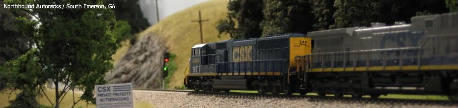
Also, the area in the lower left corner of the lower level track plan has been changed to represent Emerson, GA. This part of the layout is where Emerson would be located on the prototype. Emerson is a small town in hilly terrain that features an intersection with a flashing yellow light and not much else. However, there is lots of railroad action here because of a long passing siding where frequent meets take place and a bad order track where northbound trains set out cars that have been flagged by the defect detector in Cartersville. These operations will be included in the N-scale Dixie Line operations as well.
Lower Level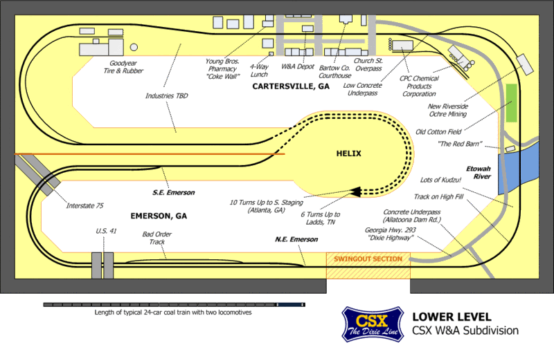 Middle Level
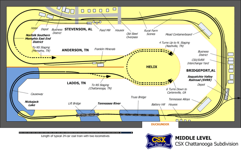 Upper Level
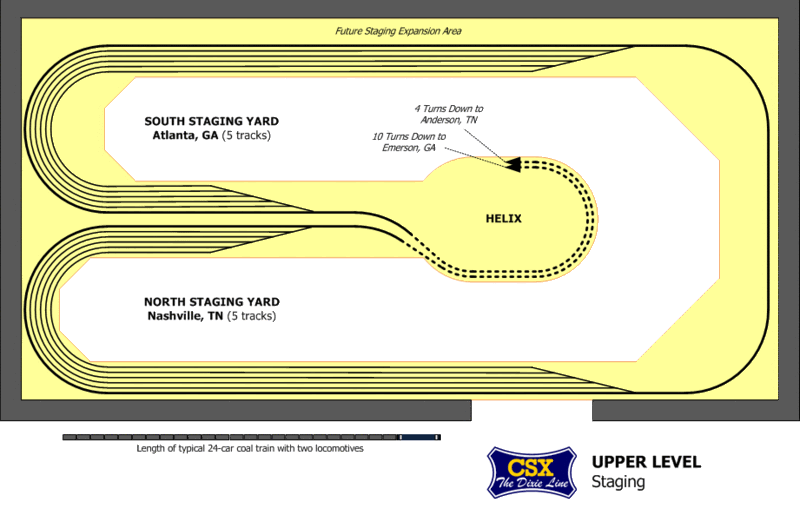
.